
Eureka ZIP Codes in Three Postal Patterns
A useful Eureka ZIP code directory begins with the postal role of each code, not with a map that treats every ZIP as a neighborhood. USPS delivery geography, the city boundary, the Assessor situs, and the deed legal description are separate keys. The table below keeps the three documented Eureka codes distinct.
| ZIP | Areas covered | Post office or station | Notes |
|---|---|---|---|
| 95501 | Core incorporated Eureka, including Downtown, Old Town, waterfront, and much of the central and northern city | Eureka Post Office, Downtown Eureka, and nearby Henderson service | Standard street delivery; validate the exact address |
| 95502 | Eureka postal name with PO Box geography | Associated Eureka box service | Do not plot as a residential neighborhood polygon |
| 95503 | Southern and eastern Eureka mailing area plus unincorporated Eureka/Cutten territory | Cutten Post Office and nearby Eureka network service | Postal city and incorporated city can differ |
ZIP alone cannot identify a parcel or person. It is a first geographic filter, followed by address validation and jurisdiction review.
95501 and Central Eureka
ZIP 95501 covers the central Eureka pattern that most readers expect when they hear the city name. The researched USPS facilities include the Eureka Post Office at 337 W Clark Street, Downtown Eureka at 514 H Street, and Henderson service at 2906 F Street. Those facilities explain delivery geography, but a post office location is not a boundary survey or a resident roll.
For a 95501 address, confirm the street line in USPS, then place the parcel in Humboldt Web GIS. If the property is incorporated, Eureka's Community Development map supplies the city land-use and boundary context. The county map shows parcel continuity, but it omits county zoning and land-use designations inside the incorporated city.
The USPS Eureka facility listing is the source for the local delivery-station evidence.
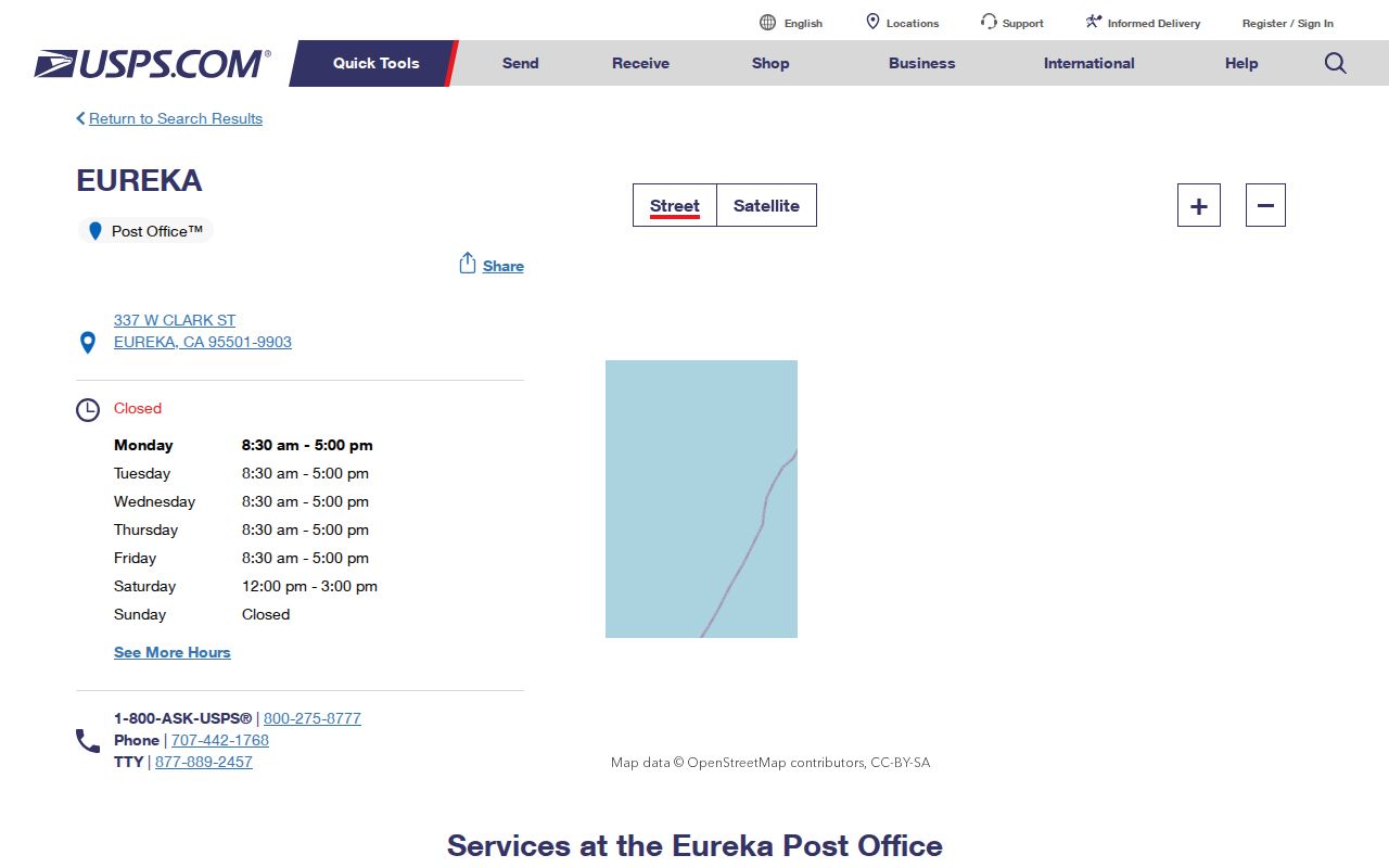
The facility view helps explain why a ZIP code is a delivery key, while parcel and city maps answer the land question.
Why Eureka ZIP 95502 Means PO Box
ZIP 95502 is the odd one in the Eureka set. Humboldt County's own ZIP reporting labels it “Eureka (PO Box) 95502.” That makes it a box-oriented postal identity, not a residential street-delivery area that can be drawn as a neighborhood polygon. A name or address tied to 95502 should be read as a mailing clue until the street address and parcel are verified.
Do not use a box ZIP to infer where a person lives, which parcel is nearby, or which city office holds a permit. Ask USPS to validate the address, then use the situs and APN for property work. A mailing address may belong to a person, trust, agent, or correspondence location away from the parcel.
This distinction is central to a Eureka ZIP code directory: the code describes mail routing, not a complete list of people or homes.
Eureka 95503 Reaches Cutten
ZIP 95503 covers a southern and eastern Eureka mailing area that includes unincorporated Eureka and Cutten. The county source groups “Eureka/Cutten” under 95503, and the Cutten Post Office is listed at 3901 Walnut Drive. A letter can therefore carry an Eureka postal city and still sit outside the City of Eureka's incorporated jurisdiction.
That overlap changes the next search step. City archives, permits, business licenses, and zoning questions belong to Eureka only when the parcel is inside the city. County parcel and assessment sources cover a broader area. Check the parcel boundary and service jurisdiction before asking the wrong office for a resident or property record.
ZIP boundary check. A 95503 mailing label does not settle whether a parcel is inside Eureka or in unincorporated Cutten. Validate the address, APN, and municipal boundary separately.
Verify Eureka Addresses by ZIP Code
The USPS lookup has three useful modes: Find by Address, Cities by ZIP Code, and ZIP Codes by City and State. Use Find by Address for a real street line. The city and state modes are helpful for orientation but can include box service or mailing territory that crosses the city line. A verified ZIP result is the first check, not the final resident or parcel result.
The USPS ZIP Code Lookup is the authoritative delivery check in the research. After it returns a ZIP, take the same address to county GIS, then to Eureka GIS if the parcel appears incorporated.
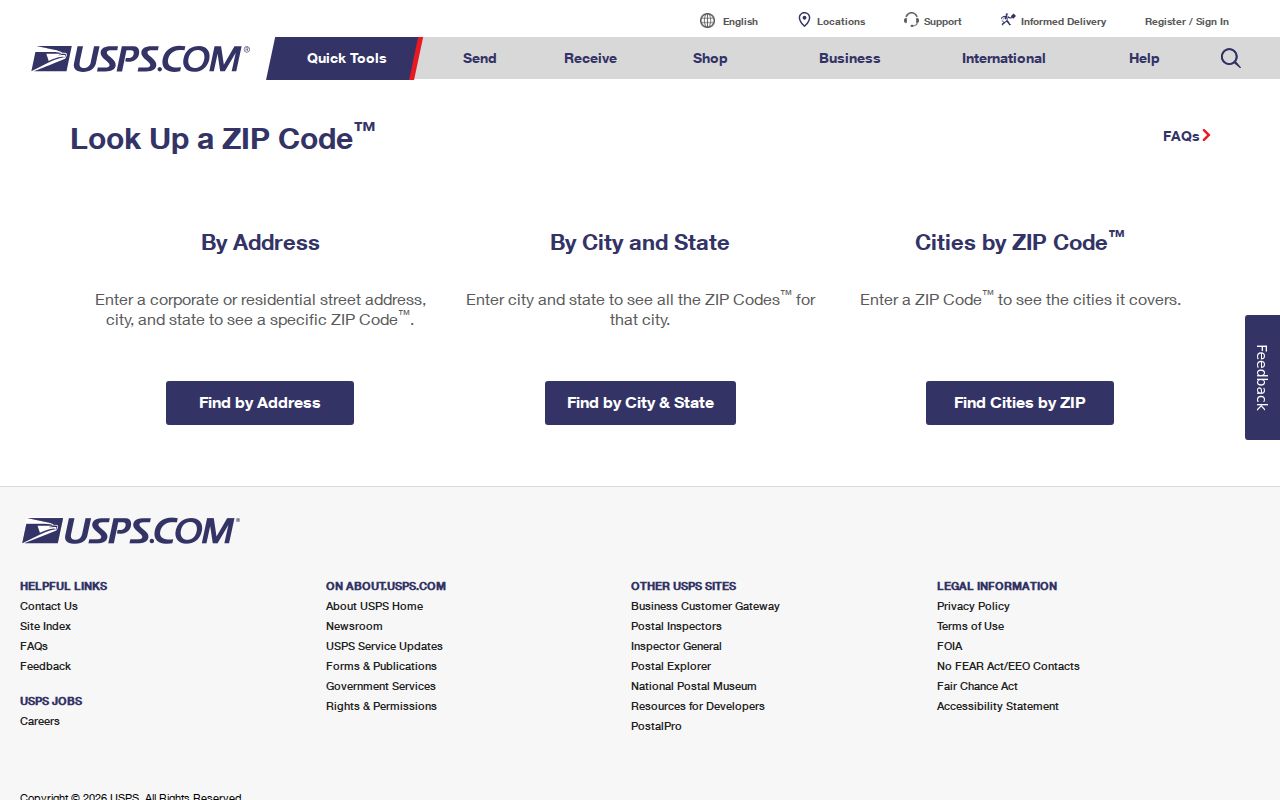
The address mode gives a clean postal result to compare with the APN and city boundary.
- ZIP Code
- A USPS delivery identifier that does not by itself define a city boundary or household.
- ZIP+4
- An extended delivery code; the research documents USPS address validation but does not make it a parcel key.
- PO-box ZIP
- A code oriented to box service, such as the documented Eureka 95502 pattern.
- Carrier route
- A postal delivery route concept, not a public resident list or land boundary.
Eureka ZIP Code Directory Search Steps
A ZIP-level resident search should narrow geography without claiming that the code itself reveals a person. Use the postal result to organize the next checks, then shift to the source that holds the fact.
- Run the complete street address through USPS and save the returned city, state, and ZIP.
- Place the address in Humboldt Property Assessment Inquiry and save the APN or assessment number.
- Open the parcel in Humboldt GIS and compare it with the incorporated-city boundary.
- Use Eureka GIS for local zoning or city-limit context, or county channels for unincorporated Cutten territory.
- Carry the APN or verified name to the Recorder, library, court, or other custodian that answers the actual question.
If the question becomes who owns or lived at one street address, the Eureka street directory has the address-keyed workflow. The ZIP code directory should stop at the ZIP and jurisdiction handoff rather than rebuild that chain.
Eureka Portals Without a ZIP Filter
The researched local portals do not provide a documented ZIP-wide resident query. The Assessor accepts assessment number, fee parcel number, or street address. Humboldt GIS accepts address or APN. Eureka GIS accepts local map keys. California voter tools are individual or purpose-limited. That means a ZIP-wide list cannot be promised from these sources.
| USPS ZIP Lookup | Find by Address, Cities by ZIP Code, or ZIP Codes by City and State; returns delivery geography. |
|---|---|
| Humboldt Property Inquiry | No documented ZIP filter; search all or part of a street address or an APN. |
| Humboldt Web GIS | No documented ZIP search; use address or APN and consult the county ZIP map or layer. |
| Eureka Community GIS | No documented ZIP-filter mode; compare the parcel with city boundary and zoning layers. |
| California voter route | No public ZIP-wide browse; individual status and full-file rules remain separate. |
When a portal lacks a ZIP field, that is a research limit to state plainly. Do not convert a set of address results into a claimed ZIP resident directory without a documented complete source.
ZIP Boundaries and Eureka City Limits
ZIP boundaries, postal city names, parcel lines, and municipal limits answer four different location questions. The 95503 overlap with Cutten is the local example. The 95502 box pattern is another. Census ZCTAs can help with broad statistics, but a ZCTA is a statistical approximation, not the USPS operating boundary and not a city-limit decision.
For an address that says Eureka, first verify the delivery ZIP. Next locate the parcel in county GIS. Then check Eureka's Community Development map if the parcel appears within the incorporated city. This order keeps a county permit or assessment question from being sent to a city office, and keeps city zoning from being inferred from a county layer.
The Eureka GIS gateway supplies the city map, while Humboldt GIS supplies countywide parcel context.
Eureka Situs, Mailing, and Legal Keys
A Eureka address search often fails because four keys are blended together. The USPS delivery address identifies mail service. The Assessor situs identifies the land or improvement. The APN links the assessment record and map. The deed's legal description, such as a lot, block, subdivision, or metes-and-bounds description, is the durable title key when street labels change.
A mailing address can be a PO Box, trust, agent, or correspondence location. An APN can change after a split or merger. A legal description can keep a deed chain intact when a street number does not. The County Surveyor warns that GIS lines are not survey corners, so legal boundary work belongs with recorded maps and the Recorder.
Central Eureka's historic grid can help orient a postal address: numbered streets generally run east-west and alphabetic streets north-south in Downtown and Old Town. The Eureka Main Street district covers A through I Streets and the waterfront through Eighth Street. That pattern weakens on named roads, curving subdivisions, alleys, and in unincorporated Cutten. Use cross streets and the APN to test the address instead of assuming a ZIP follows the grid. County GIS can show parcel continuity across the incorporated line, while Eureka's map is the source for city zoning and land-use.
Keep the ZIP code in the notes, but do not let it replace the APN, legal description, or municipal boundary.
No Verified Eureka ZIP Realignment
The research did not locate an authoritative recent ZIP split, realignment year, or evidence that 95534 serves street addresses inside incorporated Eureka. Treat 95534 as a Cutten box possibility unless an exact address validates otherwise. Do not invent a change date to explain a mismatch between a letter, map, and parcel.
When records disagree, preserve the date and source for each result. Ask USPS about delivery. Ask Humboldt GIS or the Assessor about the parcel. Ask Eureka Development Services about incorporated land-use. A later official answer can update the ZIP code directory without rewriting the prior record of what each source said.
The result is a safer ZIP code directory: 95501, 95502, and 95503 have documented roles, while unresolved territory stays labeled as unresolved.