
Sources Behind Previous Residents of Eureka
A house-history trail needs several sources because ownership and occupancy are different layers. The online Recorder index is recent compared with the printed directory and map shelf. Census schedules are released by year, and permits explain building change rather than every person. The era table sets the order for a backward search.
| Source | Years it covers | Where held | What it shows |
|---|---|---|---|
| Official-record index | 1979-present | Humboldt Clerk-Recorder Self-Service Web | Grantor, grantee, document type, date, instrument or book/page |
| Web-purchasable record images | April 9, 1999-present | Same county portal | Noncertified deed or map images when eligible |
| Bound deed indexes | Before 1979; surviving volume range needs volume-level check | Recorder lobby, 825 Fifth Street | Earlier name references and book/page leads |
| Eureka Sanborn sets | 1886, 1889, 1892, 1900, 1920, 1949, 1957 | Library of Congress and map collections | Footprint, use, construction, street and number context |
| Federal census schedules | Public through 1950 under the 72-year rule | National Archives and genealogy collections | Household, relationship, age, occupation, ownership or rent marker |
| City and reverse directories | 1884-2003 holdings with gaps and scope changes | Humboldt Room, Society, Cal Poly | Reported names, addresses, occupations, homeowner information, reverse entries |
| Planning and historic mapper | Modern permit era and current historic map | Eureka Development Services and city map | Project change, structure context, historic property narrative |
The best chain moves from a current APN to an instrument, then to past owners and nearby directory years. No one row can establish the whole household history.
Eureka APN Before Past Residents
Begin with a precise street number, suffix, and ZIP. Search the Humboldt Property Assessment Inquiry by Street Address and save the complete APN or assessment number. Place that parcel in county GIS, then compare Eureka's city map when the property appears incorporated. The APN is a stable join key when a street number or building footprint changes, although it can change after a split or merger.
The deed trail needs more than a postal line. Save the parcel outline, cross streets, lot or block description, and any legal description shown in the record. A mailing address may point to an owner, trust, agent, or box away from the site. A situs identifies land, not everyone who lived there.
The Eureka History map adds a curated place layer for roughly 1,500 structures, with filters for people, architecture, decades, and tours.
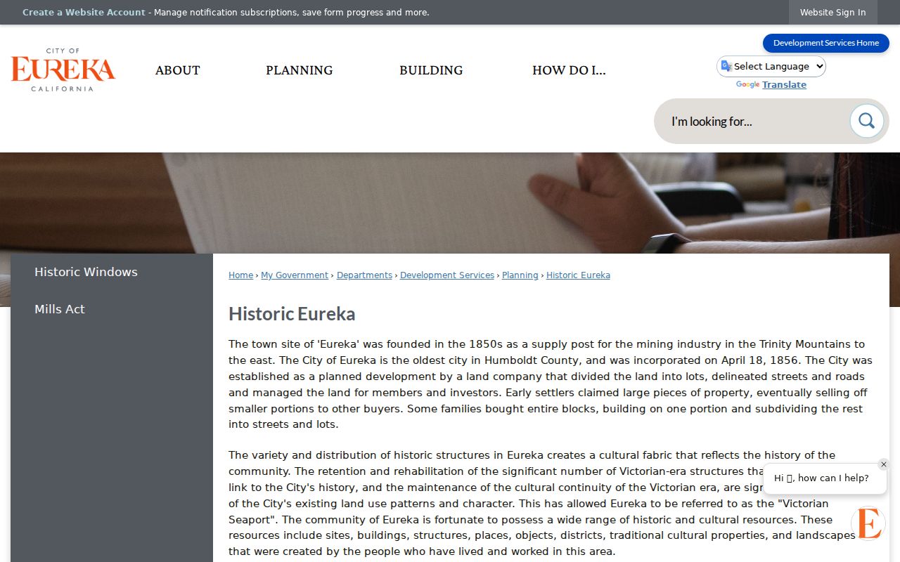
A historic property narrative can suggest an owner or occupant lead, but deeds and directories remain the source for the specific record claim.
Eureka Current Vesting Deed
Once the parcel and current assessment owner are known through the public detail or Assessor counter, search the Recorder under LAST NAME FIRST NAME, without punctuation. Narrow by recording date and document type. Identify the acquisition grant deed, then record the grantor, grantee, instrument number or book/page, recording date, and legal description. A deed of trust, lien, or reconveyance is not automatically a transfer.
The online county index begins in 1979. Eligible noncertified images begin April 9, 1999. The copy counter lists $2 for the first page, $1 for each additional page, and $2 for certification. The Recorder does not conduct the title search, so the researcher must supply the record reference or use the bound index books in the lobby.
Use the Humboldt Recorder self-service route for the index and coverage notice before moving to a copy request.
Walking the Eureka Grantor Chain
A grantor is the party conveying or assigning an interest. A grantee is the party receiving it. For previous residents, the seller in one acquisition deed becomes the next name to test as an earlier grantee. The chain follows names and legal descriptions, not just street labels.
- Start with the current APN, assessment owner, and the latest acquisition deed.
- Write down each party's role, date, document type, instrument or book/page, and legal description.
- Search the grantor as an earlier grantee, including spelling variants and the available date range.
- At each ownership interval, compare the nearest city-directory year and any reverse address entry.
- Use census, Sanborn, permit, obituary, and probate sources to test occupancy and building continuity.
- When the chain reaches 1979, move to the Recorder's alphabetical bound books and request copies from the identified references.
- Chain of title
- The linked sequence of recorded interests that connects one title holder to an earlier one.
- Legal description
- The lot, block, subdivision, or metes-and-bounds text that identifies the land in the instrument.
- Grantor and grantee
- The conveying and receiving roles in a recorded transfer or other instrument.
Eureka Deeds Before the 1979 Index
Pre-1979 work is where an online previous-residents search must move offline. The Recorder's lobby computers provide a free index examination for the bound books, but staff do not perform the search. Capture the alphabetical reference, then use the official copy request form by mail or the counter. The county directs certified and ordinary copy questions to the Clerk-Recorder at 825 Fifth Street, fifth floor.
Older records may also need local shelves and archives. The Humboldt Room, Historical Society, and Cal Poly Special Collections hold directories, maps, newspapers, and genealogy material. The California State Archives offers another state-level finding-aid route. A CPRA request can target an existing city or county file, but it cannot make an agency create a title history or release a protected record.
Pre-1979 is an access boundary, not a statement that the property had no earlier owner. Note the source and date of every offline search so a later volume check can be compared.
Eureka Sanborn Maps and House Footprints
Sanborn fire-insurance maps help test whether an old street number referred to the same structure. The verified Eureka sets include 1886, 1889, 1892, 1900, 1920, 1949, and 1957. Read the sheet for building footprint, construction or material, use, street name, number, and nearby features. A map can show that a building changed, moved, or was replaced, but it does not name a resident.
Pair the nearest Sanborn sheet with the directory entry, APN, legal description, and cross streets. If the footprint does not fit, check subdivision maps, permits, and the city or county map before concluding that the household moved. The Library of Congress set is a useful online bridge for the historical building layer.
The Cal Poly Humboldt maps collection documents the survey and Sanborn resources that sit beside the Eureka directories.
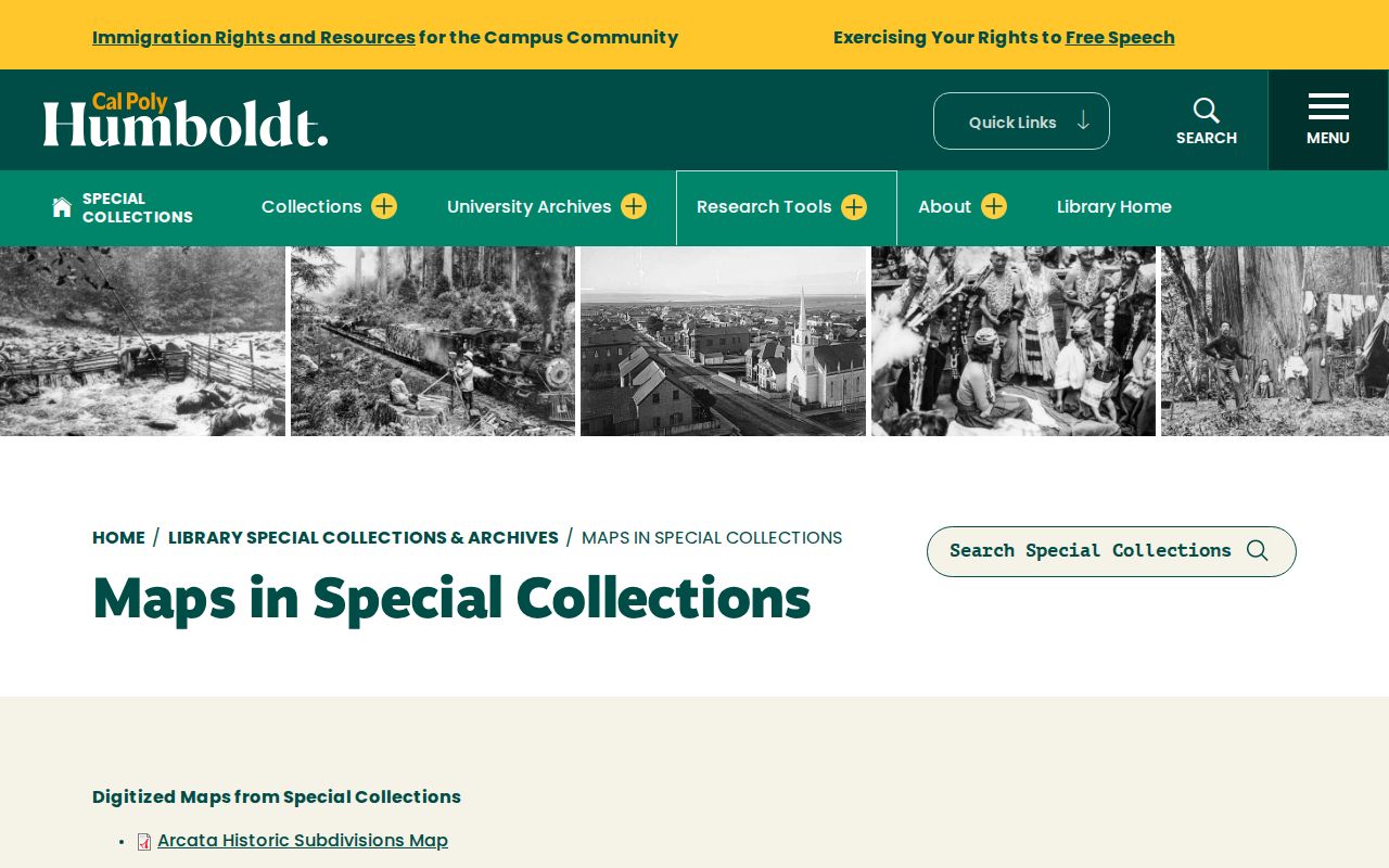
Maps supply structure context for a previous residents search. They should be cited with the sheet year and used beside, not instead of, a people source.
Eureka Census Years Fill Directory Gaps
The currently public federal census sequence reaches 1950 under the seventy-two-year release rule. The 1900, 1910, 1920, 1930, 1940, and 1950 schedules can add household relationship, age, birthplace, occupation, and ownership or rent markers to a directory snapshot. The missing 1890 population schedules make the local 1890-91 directory especially valuable when it exists.
Pair a directory year with the nearest census, allowing for enumeration-district lines, street-number differences, initials, and changed household membership. A census reports an enumeration date, not a continuous address history. If a name appears in 1913 and not 1920, check the 1918 directory gap, telephone books, newspapers, death records, and deeds before calling it a move.
The National Archives census guide provides the public-release context for this backward trail.
The census image represents a household snapshot that can bridge the years between Eureka directory volumes.
Eureka Directories and Past Households
The Humboldt County Historical Society reports 74 directories from 1884 through 2003, while Cal Poly's shelf carries detailed local runs and a reverse section from 1913. An ordinary directory moves from a name to an address. A reverse or householder section moves from an address toward a reported occupant. The complete collection, publishers, and exact annual gaps are treated on the Eureka city directory page.
For a household trail, copy the entry, check the prior and next volume, then pair the result with a census year. A disappearance can mean death, move, marriage or name change, a publication pause, or a narrower geographic scope. Read the volume's town list before treating an absence as evidence.
- Choose the address year and copy the entry with its spelling and marks.
- Read the nearest earlier and later directory, including the reverse section when available.
- Compare the address with the closest released census schedule.
- Check deed parties, Sanborn footprint, obituary, and probate clues for the same interval.
House-history boundary. Directories report published occupants and deeds report recorded interests. Use both for a lawful house-history question, but do not turn either into a complete private household list.
Eureka Permits and Historic Mapper
Modern planning and building files can explain a break in the structure timeline. A Eureka permit or application may name the address, APN, project scope, date, owner, applicant, contractor, or design professional when the information is public and unredacted. The research did not establish a complete online historical permit search or start year, so a focused request to Development Services is the verified fallback.
The city's Historic Mapper and property-history work add context for older structures. The curated Eureka History project covers roughly 1,500 structures and may name a builder, owner, designer, or occupant in a property narrative. That narrative is not a title record. Link it to the APN, deed, directory, and map before treating it as part of the previous residents trail.
For current property and street continuity, use the Eureka street directory address chain after the historical layer is understood.
Eureka Probate and Obituary Endpoints
Obituaries and probate often close a backward address trail. An obituary may explain a death, relative, later place, or community role. A probate petition or order may identify a personal representative, beneficiary, or successor interest. The obituary is a lead; the court order or recorded transfer supplies the legal role. Search name variants and preserve the case or instrument number.
Myrtle Grove Memorial Cemetery began in 1861, and the City documents its later transfer to municipal control and volunteer work to find and raise sunken stones. A burial inquiry can therefore add a local endpoint when an online index misses a marker. Use the cemetery, library, court, and Recorder together, and stop when a protected or sealed record blocks the path.
Previous residents are a historical reconstruction. The safest result says what the deed, directory, census, map, obituary, or probate record actually supports and leaves the rest unresolved.